Guatamala's Geography
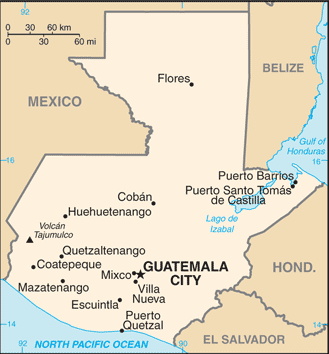
- Total Area: 108,889 sq km
- Land Area: 107,159 sq km
- Water Area: 1,730 sq km
- Size comparative to U.S. territory: Slightly smaller than Tennessee
- All countries/bodies of water border: Belize, El Salvandor, Honduras, Mexico
- Total distance of all land boundaries: 1,687 km
- Total distance of coastline: 400 km
- Description of Climate: Tropical; hot, human in low lands; cooler in high lands
- Description of Terrain: Mostly mountains with narrow coastal plains and rolling limestone plateau
- Point of lowest elevation: Pacific Ocean
- Point of highest elevation: Volcan Tajumulco 4,211 m (highest point in Central America)
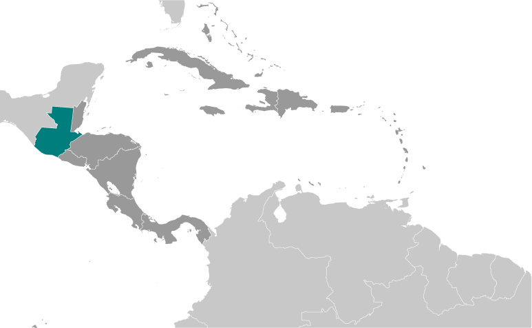
Regional Map of Guatemala.
|
