Madagascar Geography
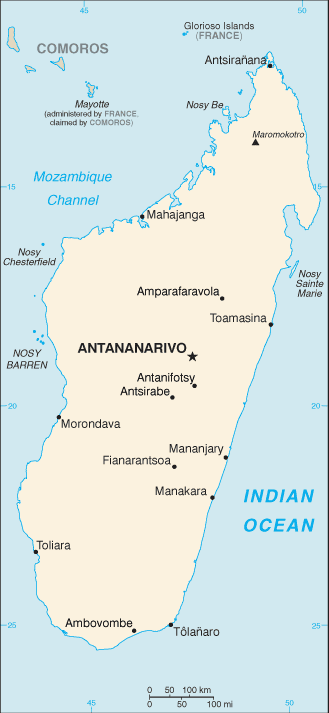
Map of Madagascar
- Total Area: 587, 041 sq km
- Land Area: 581, 540 sq km
- Water Area: 5,501 sq km
- Size comparative to U.S. territory: slightly less than twice the size of Arizona
- All countries/bodies of water border: 0km
- Total distance of all land boundaries: 0km
- Total distance of coastline: 4,828 km
- Description of Climate: tropical along coast, temperate inland, arid in south
- Description of Terrain: narrow coastal plain, high plateau and mountains in center
- Point of lowest elevation: Indian Ocean 0m
- Point of highest elevation: Maromokotro 2,876 m
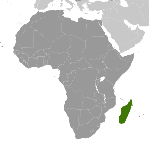
Regional Map of Madagascar.
|
