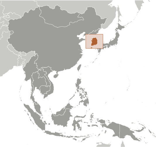
South Korea Geography
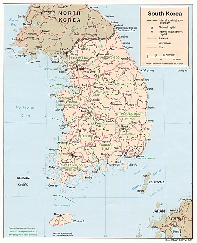
Regional Map of South Korea
(Click for Enlargement)
- Total Area: 99,720 sq. km
- Land Area: 96,920 sq. km
- Water Area: 2,800 sq. km
- Size comparative to U.S.. Territory: South Korea is slightly larger than Indiana.
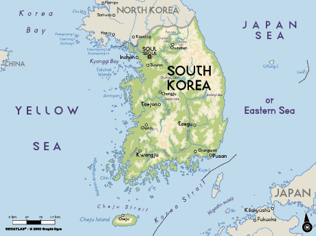
- Countries/Bodies of Water sharing border with South Korea: North Korea shares border with South Korea. The three bodies of water sharing border with South Korea would be to the east is the Sea of Japan or the East Sea, to the west is the Yellow Sea, and to the south is the South China Sea.
- Total distance of all land boundaries: 238 km
- Total distance of coastline: The three seas together share a border of 2,413 kilometers with South Korea. (The south and the west have an irregular coastline.
- Description of Climate: South Korea is located in the southern half of the Korean Peninsula. It's position on the world map makes it apart of the East Asian monsoonal region. South Korea climate is temperate. The climate during the winter is long, cold and dry. January is the coldest month of the year. The climate during the short summer is hot and humid, summer is around June through August. The climate during June to late July would be the rainy season for about a month as south is the first to receive the monsoon which slowly travels north. Humidity is between 80% and 90% during July, and between 30% and 50% from January to April. Two of the most pleasant season of the South Korean climate is spring and Autumn.
- Description of Terrain: Mostly hills and mountains; wide coastal plains in west and south
- Point of lowest elevation: Sea of Japan 0km
- Point of highest elevation: Halla-san 1,950km
Regional Map of Seoul, South Korea.
|
|
|
