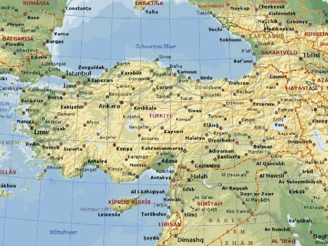
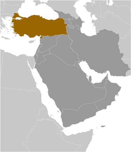
Turkey Geography
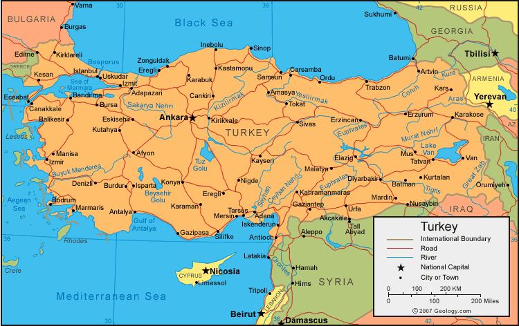
- Total Area: 783,562 sq km
- Land Area: 769,632 sq km
- Water Area: 13,930
- Size comparative to U.S. territory: Slightly larger than Texas
- All countries/bodies of water border: Armenia, Azerbaijan, Bulgaria, Georgia, Greece, Iran, Iraq, Syria
- Total distance of all land boundaries: 2,648 km
- Total distance of coastline: 7,200 km
- Description of Climate: temperate; hot, dry summers with mild, wet winters; harsher in interiors
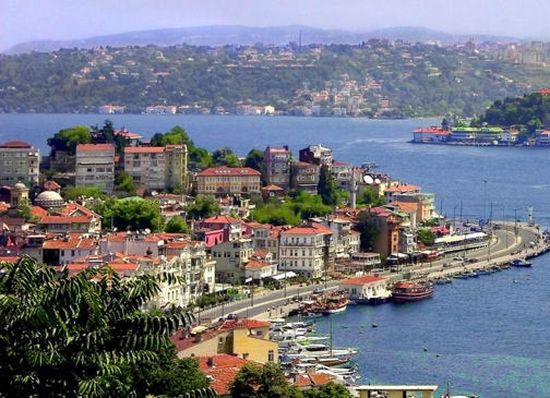
- Description of Terrain: high central plateau (Anatolia); narrow coastal plain; several mountain ranges
- Point of lowest elevation: Mediterranean Sea 0m
- Point of highest elevation: Mount Ararat 5,166m
|
Regional Map of Turkey
|